|
ADAMS
COUNTY
 |
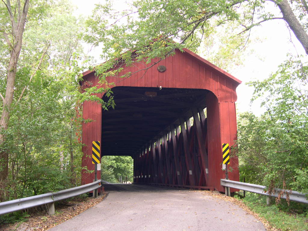
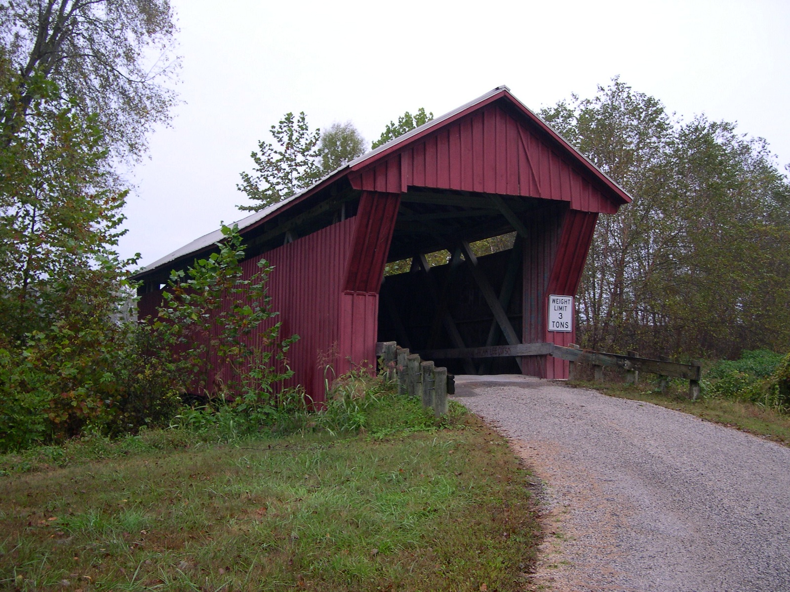
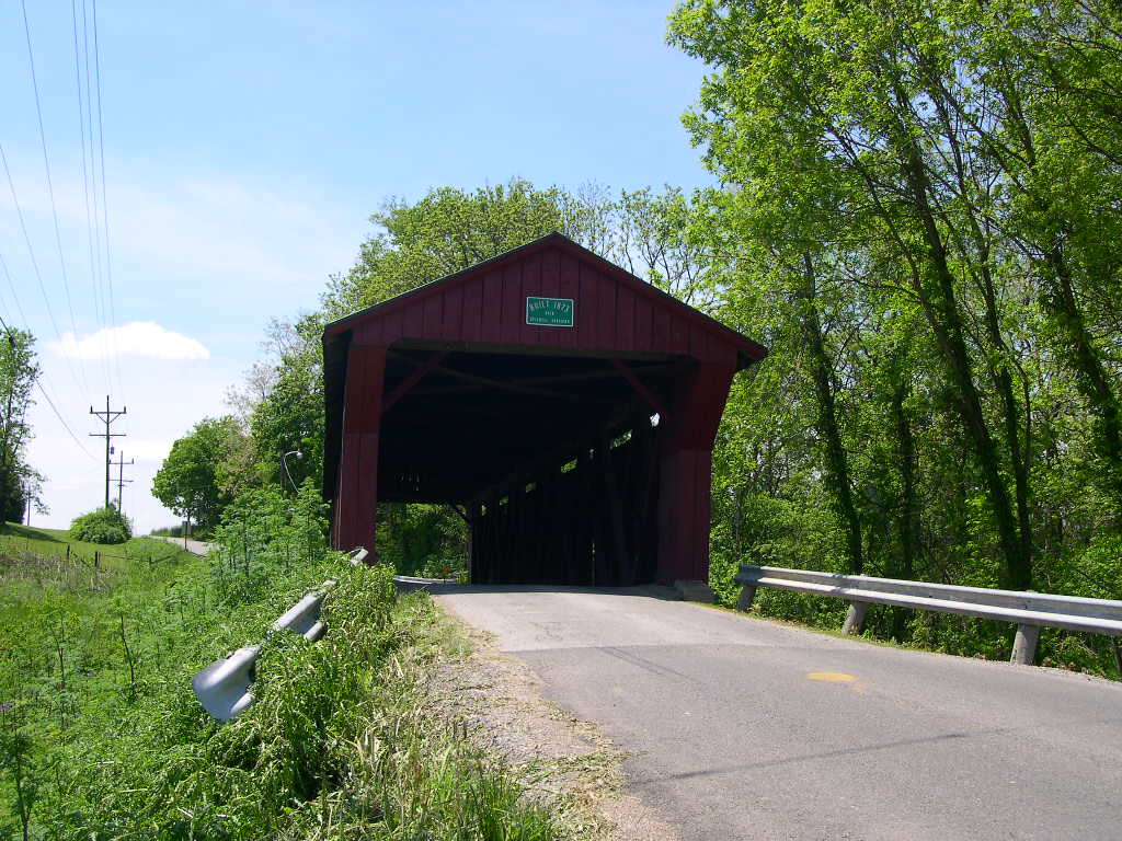
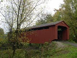
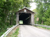
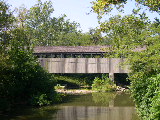
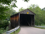
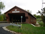
HARSHAVILLE
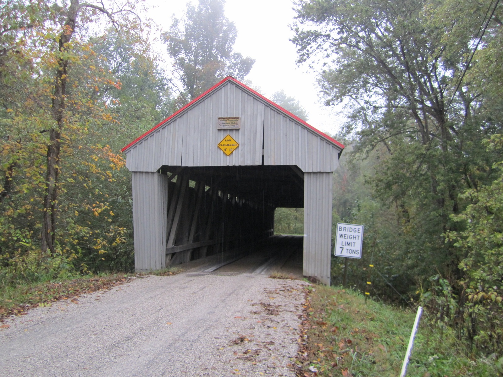
BRIDGE 35-01-02, Multiple Kingpost & Arch Truss, built in
1855, is located SE of Seaman, at Harshaville on Grace Run Road.
The
GPS location is N38 54.47 W083 32.62
|
 |
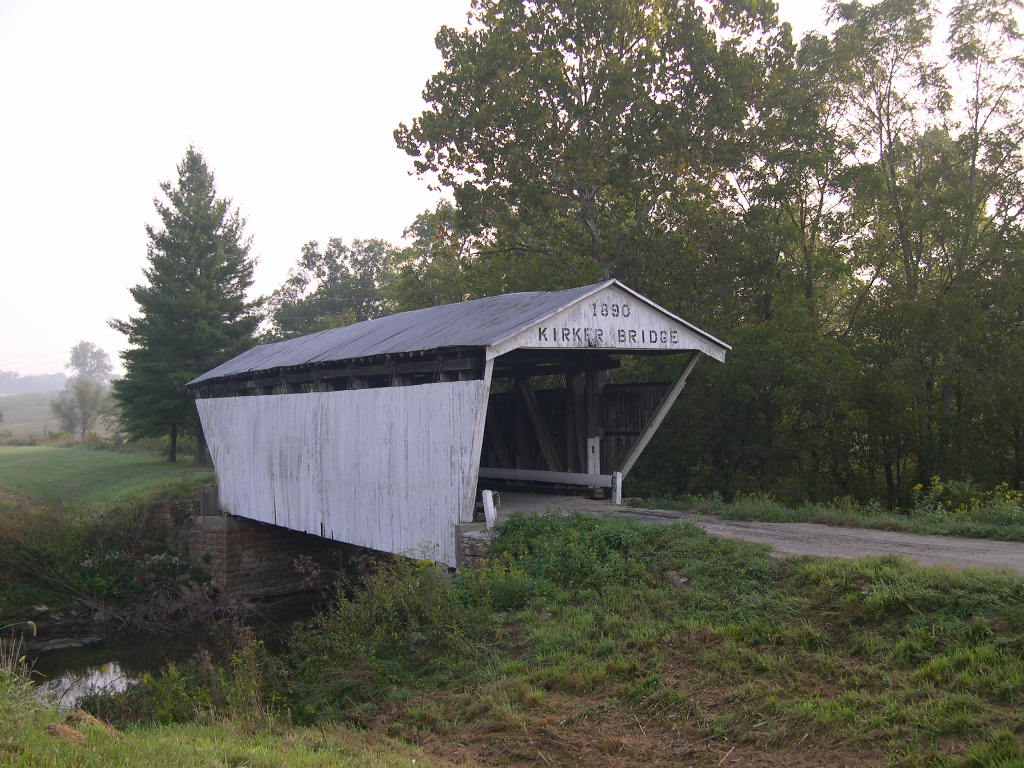
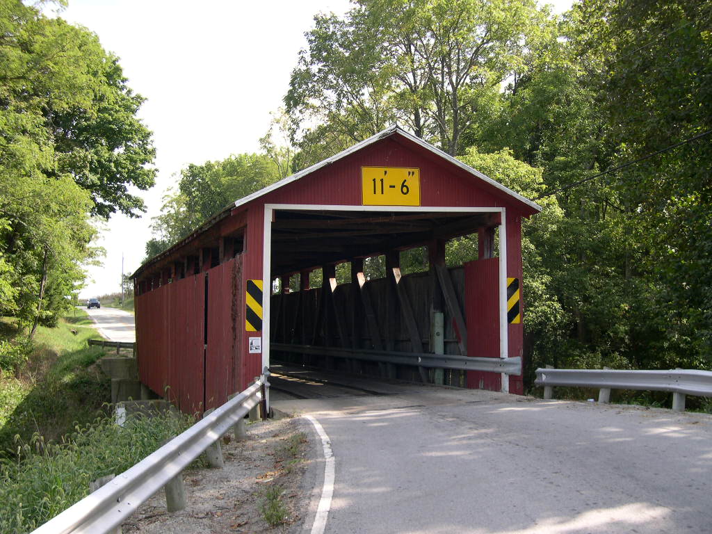
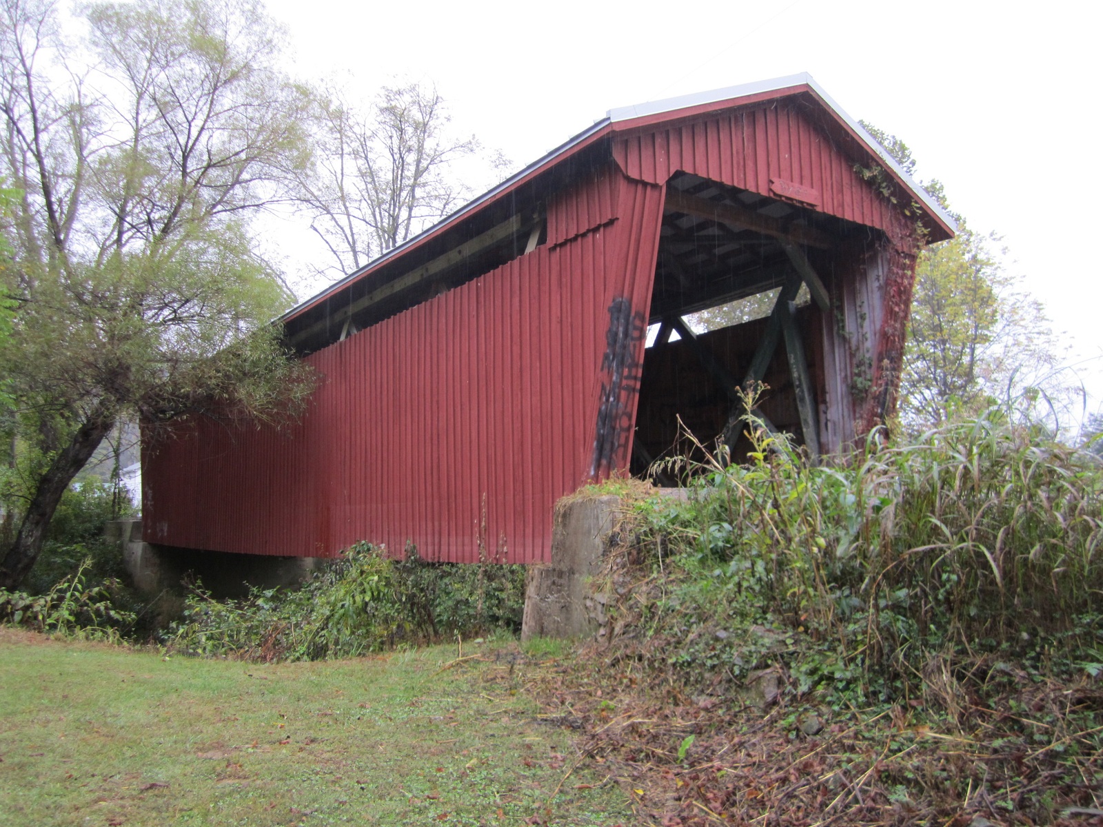
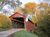
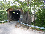
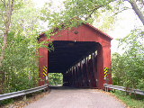
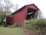
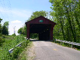
GOVERNOR
KIRKER BRIDGE 35-01-10, Multiple Kingpost Truss, built askew over
the creek in 1867, is located SW of West Union, on bypassed section
of OH 136.
The
GPS location is N38 47.049 W83 36.195.
|
 |
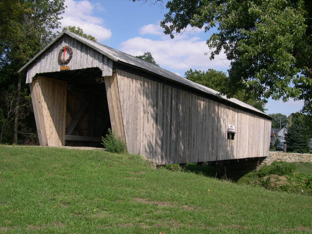
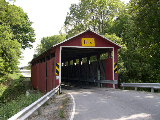
CHARLES
ARNOLD BRIDGE 35-01-A, Stringer, built in 1991, is located on
the west side of Route 247 South of West Union.
The
GPS location is N38 46.054 W83 31.706.
|
ATHENS
COUNTY
 |
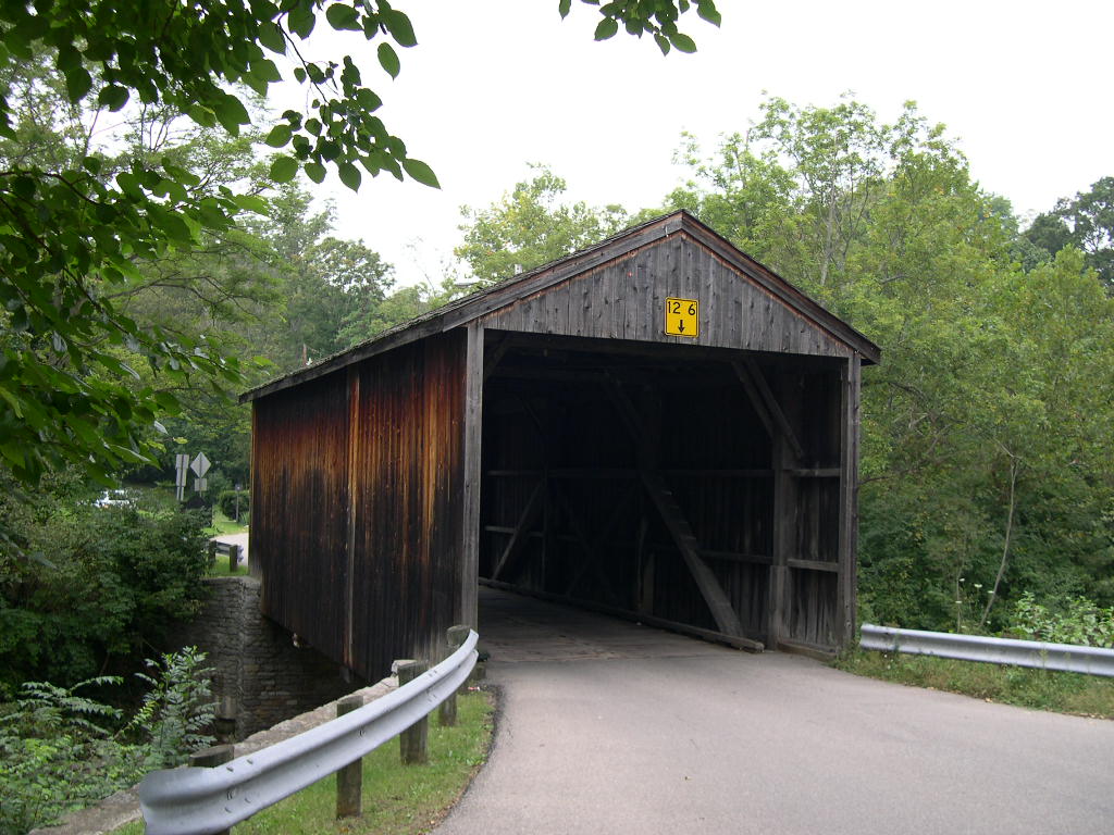
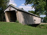
PALOS,
NEWTON BRIDGE 35-05-01, Multiple Kingpost Truss, built in 1875,
is located NNE of Glouster, off OH 13, on Trimble Road.
The
GPS location is N39 31.512 W82 04.299.
|
 |
KIDWELL
BRIDGE 35-05-02, Howe Truss, built in 1880, is located SSW of
Jacksonville, on Monserat Road (TR 332).
The
GPS location is N39 27.345 W82 06.189.
|
 |
BLACKWOOD
BRIDGE 35-05-06, Multiple Kingpost Truss, built in 1881, is located
ENE of Pratts Fork, on Blackwood Road (CR 46).
The
GPS location is N39 11.828 W81 58.458.
|
BROWN
COUNTY
 |
BROWN
BRIDGE 35 08-04, Smith Truss, built in 1878, is located NNE
of New Hope, on New Hope-White Oak Station Road (CR5).
The
GPS location is N38 59.409 W83 53.370.
|
 |
NEW
HOPE BRIDGE 35-08-05, Howe Truss w/arch, built in 1878, is located
at the Southwestern edge of New Hope, on bypassed section of
Bethel/New Hope Road.
The
GPS location is N38 57.569 W83 54.940.
|
 |
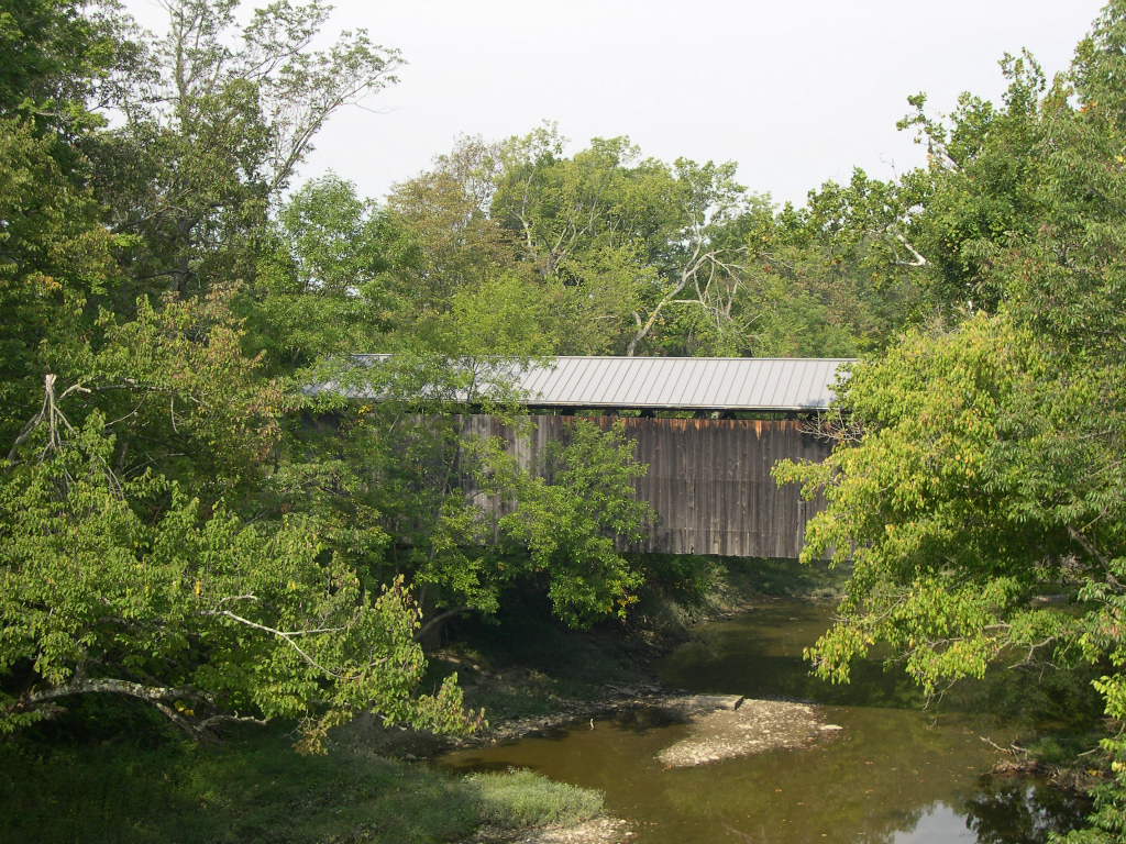
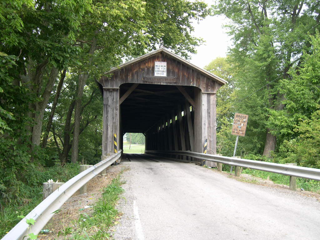
McCAFFERTY
ROAD BRIDGE 35-08-08, Howe Truss, built in 1877, is located
SW of Fayetteville, on McCafferty Road (CR 105).
The
GPS location is N39 09.089 W83 59.675.
|
 |
NORTH
POLE ROAD BRIDGE 35-08-23, Smith Truss, built in 1875, is located
NE of Ripley, off US 68/62, on North Pole Road.
The
GPS location is N38 45.00 W83 46.39.
|
 |
GEORGE
MILLER ROAD BRIDGE 35-08-34, Smith Truss, built in 1879, is
located SE of Russellville, on George Miller Road (CR 15).
The
GPS location is N38 50.221 W83 45.056.
|
BUTLER
COUNTY
 |
STATE
LINE, BEBB PARK BRIDGE 35-09-02, Wernwag Truss, built in 1868,
is located NW of Okeana, in Bebb Park.
The
GPS location is N39 22.296 W84 48.260.
|
 |
BLACK,
PUGH'S MILL BRIDGE 35-09-03, Long/Childs Truss, built in 1868,
is located at the Northern edge of Oxford, on dead end section
of OH 732.
The
GPS location is N39 31.437 W84 44.089.
|
CLERMONT
COUNTY
 |
PERINTOWN,
STONELICK BRIDGE 35-13-02, Howe Truss, built in 1878, is located
East of Perintown, on Stonelick Creek Road (CR 116).
The
GPS location is N39 07.884 W84 11.228.
|
CLINTON
COUNTY
 |
MARTINSVILLE
BRIDGE 35-14-09, Multiple Kingpost Truss, built in 1871, is
located WNW of Martinsville, on Martinsville Road (CR 14).
The
GPS location is N39 19.791 W83 50.091.
|
CLINTON/HIGHLAND
COUNTY
 |
LYNCHBURG
BRIDGE 35-14-11 & 35-36-06, Long Truss, built in 1870, is
located at the Western edge of Lynchburg, on High Street. It
is shared by Clinton & Highland Counties.
The
GPS location is N39 14.707 W83 47.670.
|
HAMILTON
COUNTY
 |
JEDIAH
HILL, GROFF MILL BRIDGE 35-31-01, Queenpost Truss, built in
1850, is located North of Cinncinnati, off US 127 at Mt. Healthy,
on Covered Bridge Road.
The
GPS location is N39 15.142 W84 32.722.
|
JACKSON
COUNTY
 |
JOHNSON
ROAD, CRABTREE BRIDGE 35-40-06, Smith Truss, built in 1869,
is located SW of Jackson, on Johnson Road (TR 291).
The
GPS location is N38 57.517 W82 47.263.
|
 |
BYER
BRIDGE 35-40-08, Smith Truss, built in 1872, is located NW of
Wellston, at Byer, on CR31.
The
GPS location is N39 10.773 W82 37.884.
|
 |
BUCKEYE
FURNACE BRIDGE 35-40-11, Smith Truss, built in 1871, moved to
dry land in 2011, is located SE of Wellston, at Buckeye Furnace.
The
GPS location is N39 03.287 W082 27.53.
|
LAWRENCE
COUNTY
 |
SCOTTOWN,
PLEASANT RIDGE BRIDGE 35-44-05, Modified Multiple Kingpost Truss,
built in 1874, is located East of Scottown, on Pleasant Ridge
Road (CR67).
The
GPS location is N38 32.873 W82 22.825.
|
MADISON
COUNTY
 |
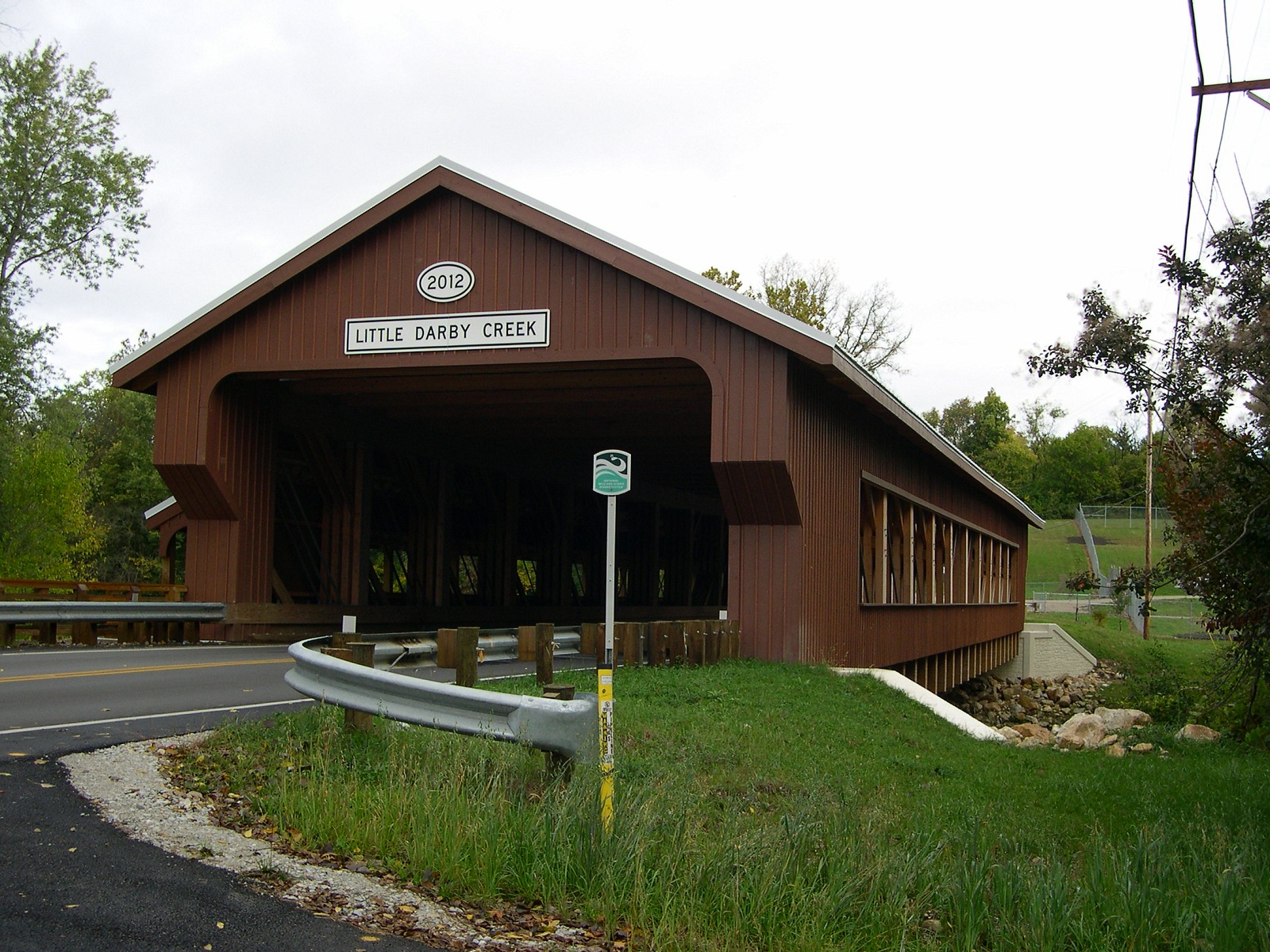
TAYLOR
BLAIR BRIDGE 35-49-27, Pratt Truss, built in 2012, is located
in West Jefferson on Taylor Blair Road, north of US 40.
The
GPS location is N39 56.771 W083 16.900.
|
ROSS
COUNTY
 |
BUCKSKIN,
SOUTH SALEM BRIDGE 35-71-02, Howe Truss, built in 1873, is located
at the Western edge of South Salem, on Lower Twin Road (CR54).
The
GPS location is N39 20.046 W83 18.871.
|
VINTON
COUNTY
 |
MT.
OLIVE, GRANDSTAFF BRIDGE 35-82-04, Queenpost Truss, built in
1875, is located NE of Allensville, on TR8.
The
GPS location is N39 17.179 W82 35.324.
|
 |
BAY,
TINKER BRIDGE 35-82-05, Double Multiple Kingpost Truss, built
in 1876, is located at the Northern edge of McArthur, in the
Fairgrounds, on the west side of OH 93 in Junior Fairgrounds.
The
GPS location is N39 16.182 W82 28.474.
|
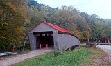 |
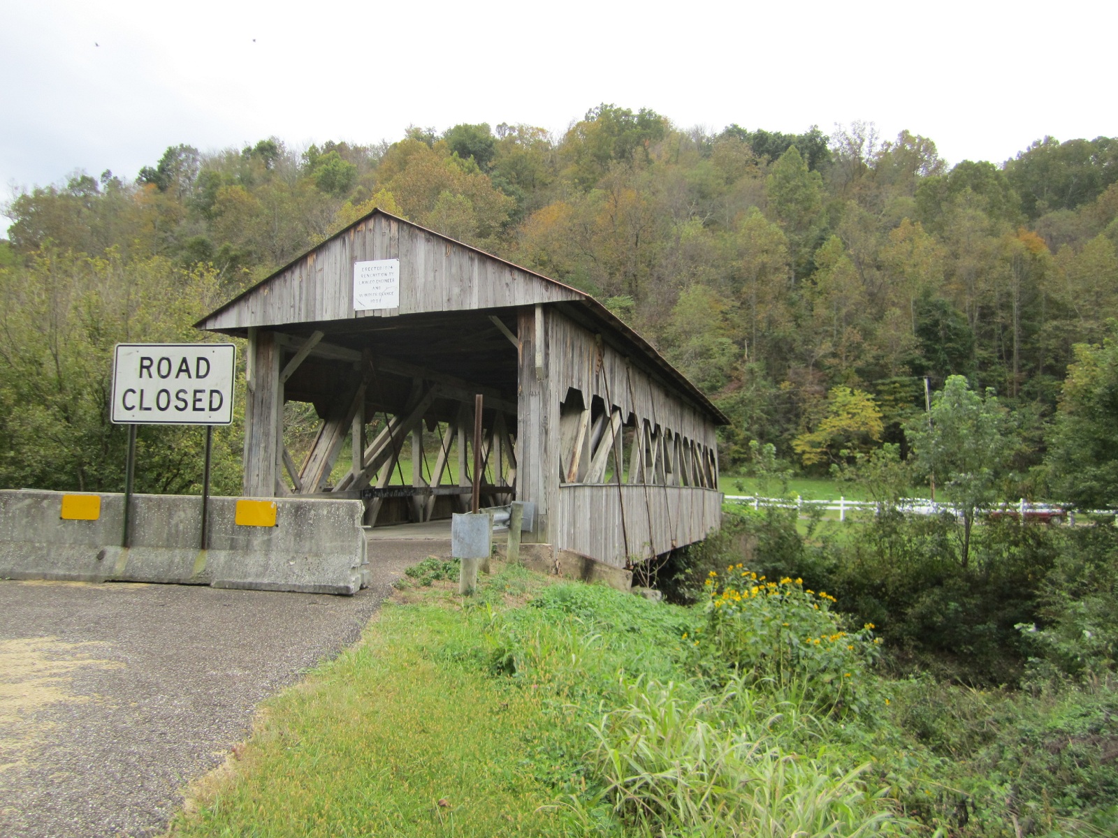
GEER
MILL, HUMPBACK, PONN'S BRIDGE 35-82-06, Double Multiple Kingpost
Truss w/arch, built in 1874, was located SW of Wilkesville,
on Covered Bridge Road (TR 4). It was
lost to arson on June 6th, 2013.
The
GPS location is N39 02.877 W82 22.581.
|
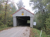 |
EAKIN
MILL, ARBAUGH1 BRIDGE 35-82-07#2, Double Multiple Kingpost Truss
w/arch, built in 1870, rebuilt in 2003, is located NE of Radcliff,
at Arbaugh, on Eakin Mill Road CR 38A.
The
GPS location is N39 10.29 W82 20.20.
|
 |
COX
BRIDGE 35-82-10, Queenpost Truss, built in 1884, is located
North of Creola, on Wilkesville Road TR4.
The
GPS location is N39 21.953 W82 27.635.
|
|