ALLEGHENY
COUNTY
 |
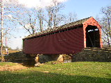
BETTY RUTH BRIDGE 20-01-A
Stringer, Private, built c. 1993, by the owner of the property,
is located off Dry Ridge Road. Permission by the owner is needed
to visit the bridge.
The
GPS location is N39 41.858 W78 32.518.
|
BALTIMORE/HARTFORD
COUNTY
 |
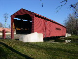
JERICHO
BRIDGE 20-03-02 & 20-12-01 Burr Arch Truss, built in 1858,is
shared by Baltimore & Hartford Counties. It is located on
Jericho Road, ENE of Kingsville.
The
GPS location is N39 27.58 W76 23.25.
|
CECIL
COUNTY
 |
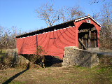
GILPHIN'S
FALLS BRIDGE 20-07-01 Burr Arch Truss, built in 1860, is located
alongon the east side of MD 272, NE of Bayview.
The
GPS location is N39 38.92 W75 57.35.
|
 |
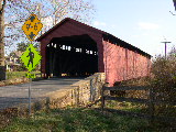
FOXCATCHER
FARM BRIDGE 20-07-02 Burr Arch Truss, built in c. 1860. It is
located NE of Fair Hill, on the DuPont Estate (Training Center)
near the junction of Rte 213 & Rte 273.
The
GPS location is N39 42.585 W75 50.254.
|
FREDERICK
COUNTY
 |
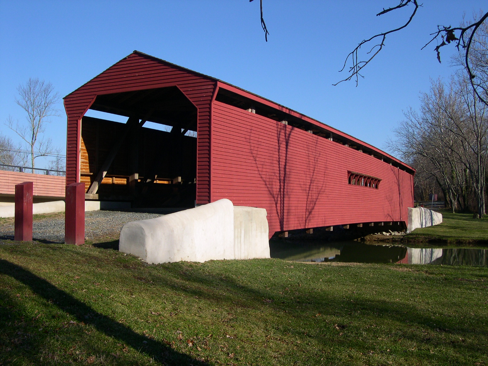
UTICA
MILLS BRIDGE 20-10-01 Burr Arch Truss, built c. 1850, moved
to present location in 1889, after flood damage. It is located
on Utica Road, off MD 806, southeast of Lewistown.
The
GPS location is N39 31.510 W77 23.857.
|
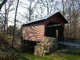 |
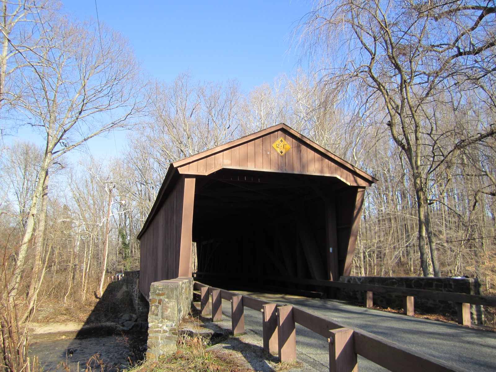
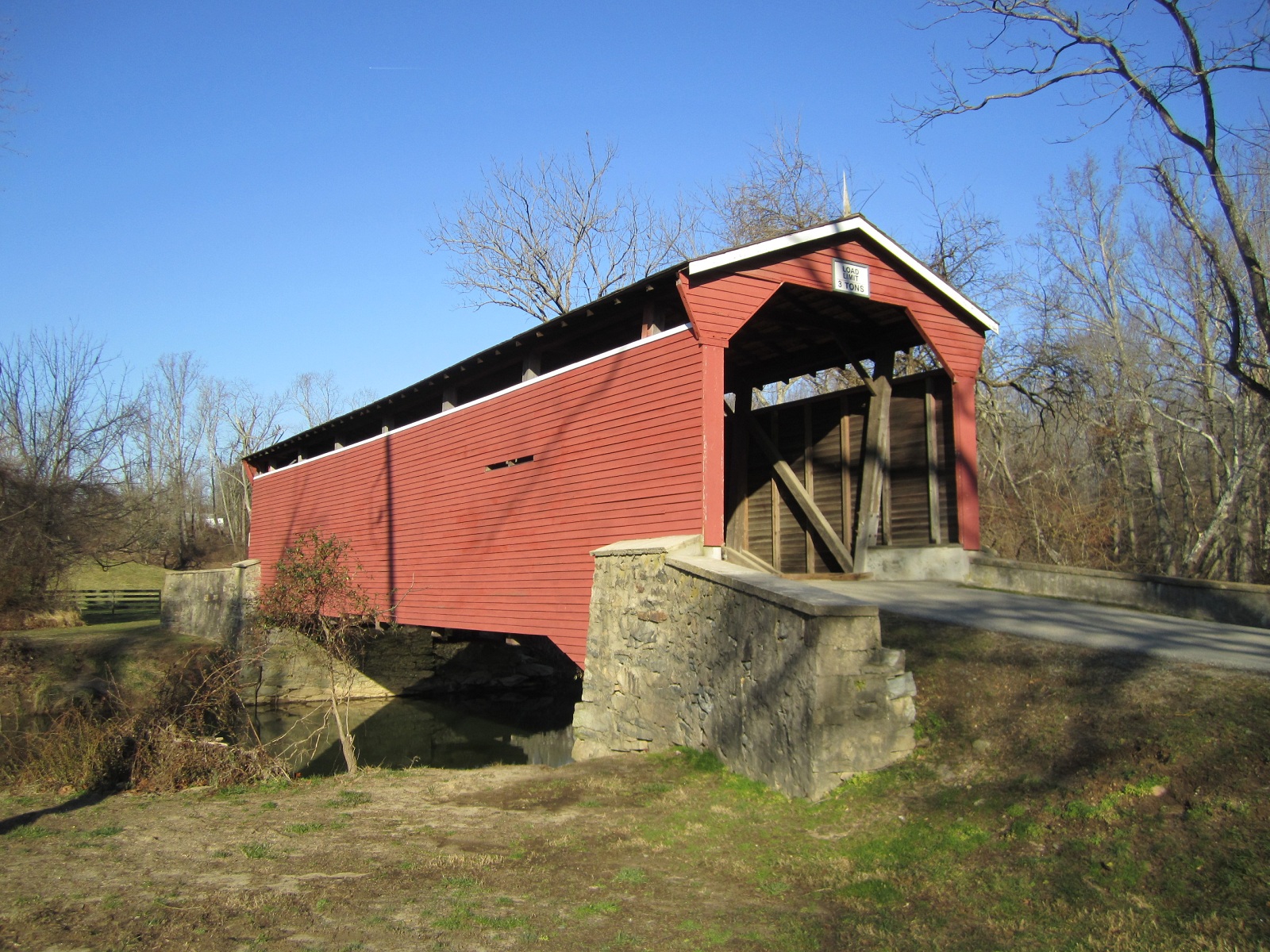
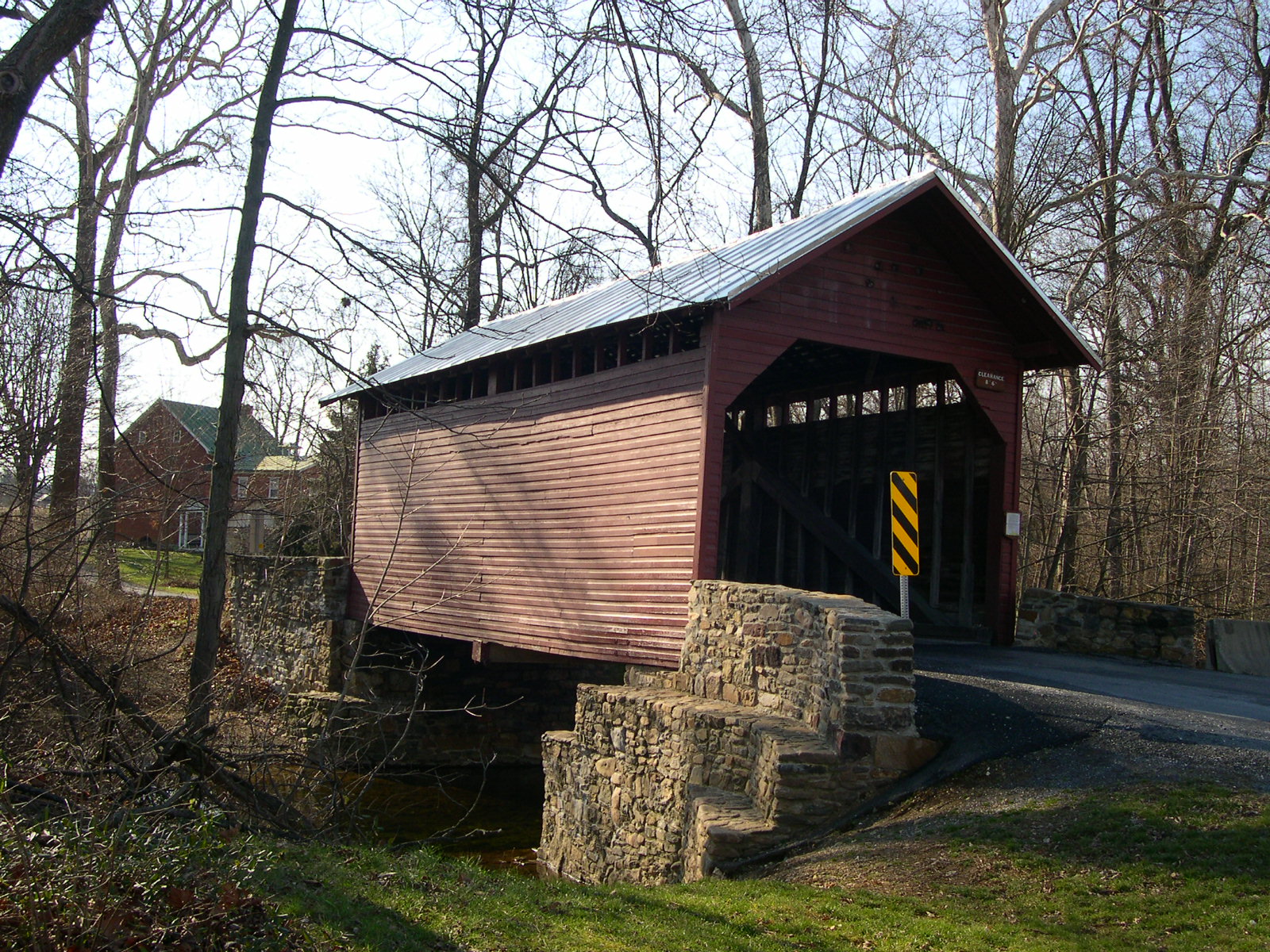
RODDY
ROAD BRIDGE 20-10-02#2 King Post Truss, built c. 1850, razed
and rebuilt in 2017, is located on Roddy Road, on the north
end of Thurmont.
The GPS location is N39 38.452 W77 23.624.
|
 |
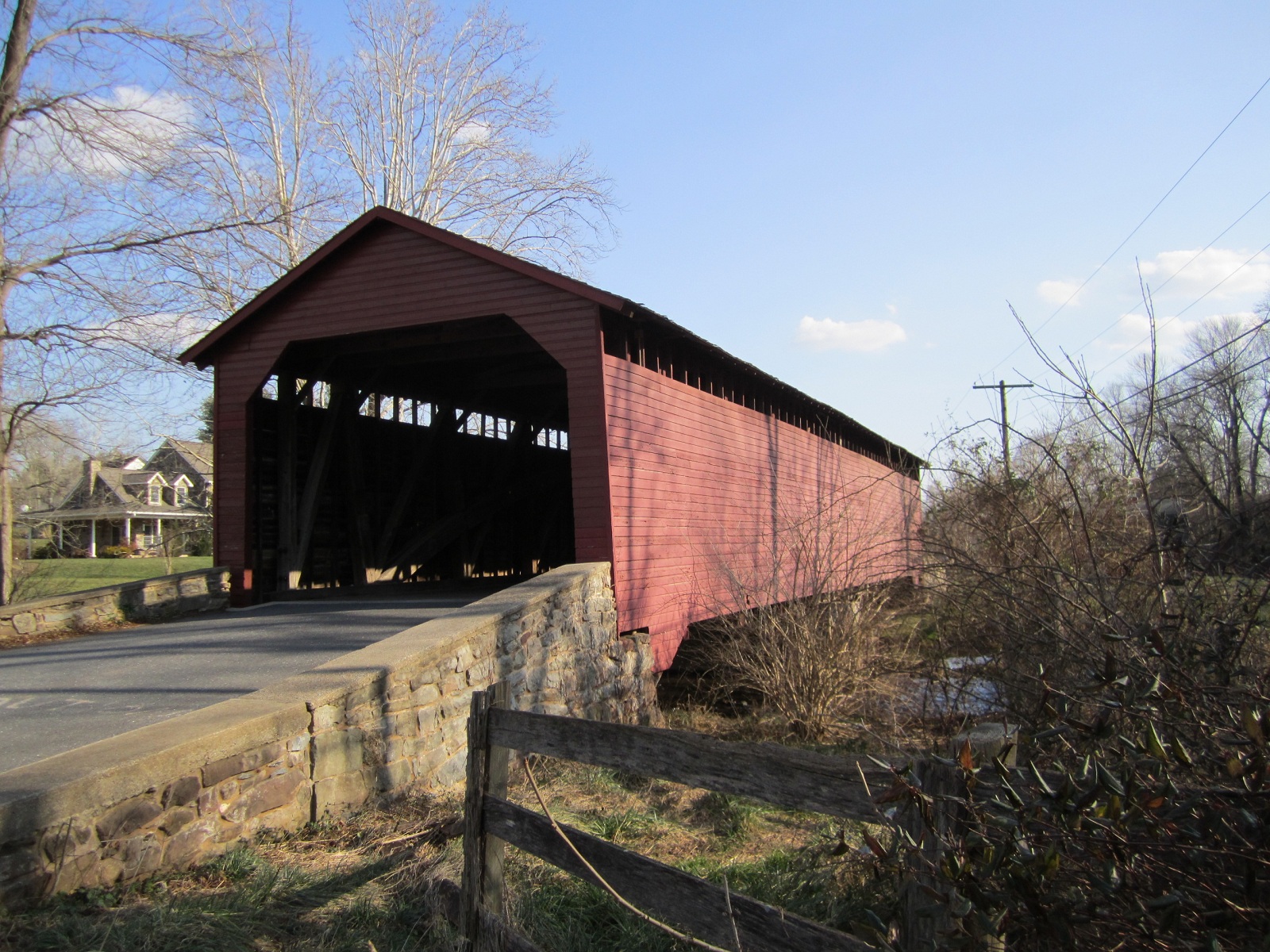
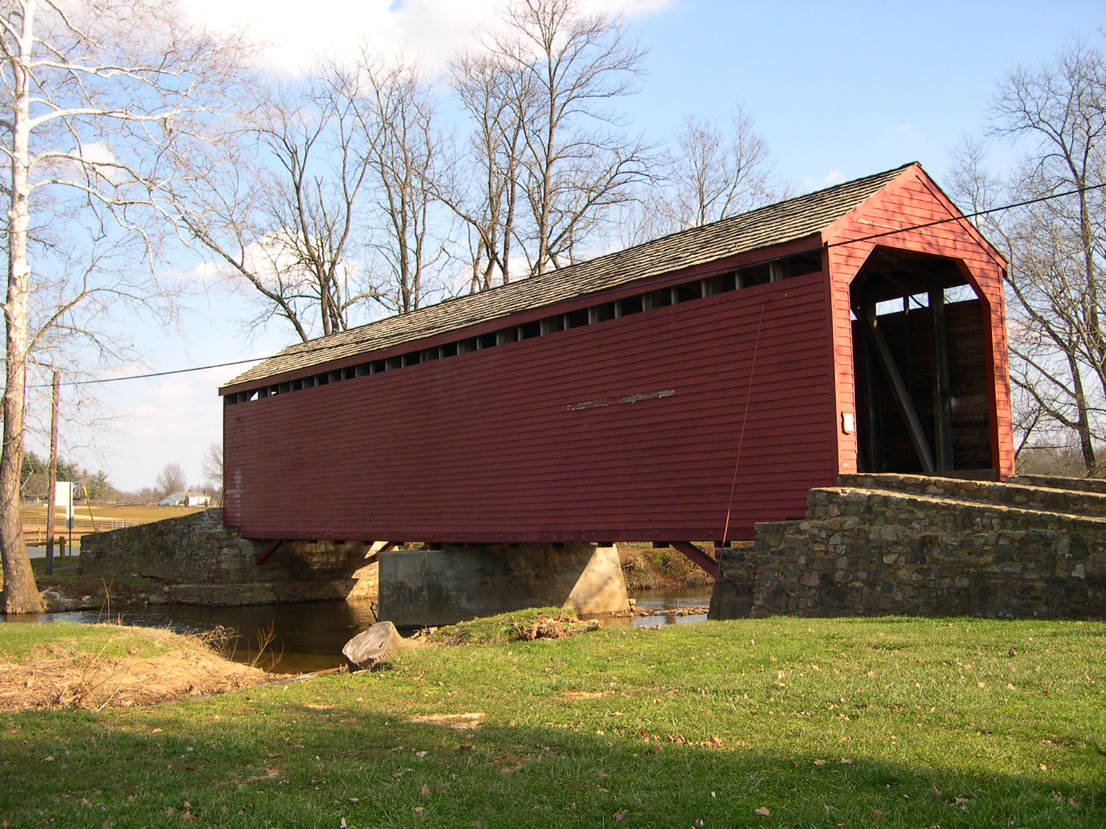
LOYS
STATION BRIDGE 20-10-03#2 King Post Truss, built in 1880.
It is located on Old Frederick Road, NNE of Creagerstown.
The
GPS location is N39 36.520 W77 21.083.
|
|