|
CHESHIRE
COUNTY
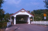 |
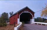
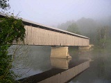
ASHUELOT,
UPPER VILLAGE BRIDGE 29-03-02, Town Truss, built in 1864. It is
located in the town of Ashuelot, on Old Ashuelot Road.
The
GPS location is N42 46.627 W72 25.404.
|
 |
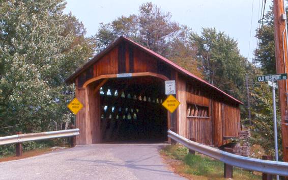
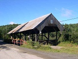
COOMBS
BRIDGE 29-03-03, Town Truss, built in 1837, is located SW of Westport,
1/2 mile west of NH 10 on Coombs Bridge Road.
The
GPS location is N42 50.278 W72 21.652.
|
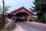 |
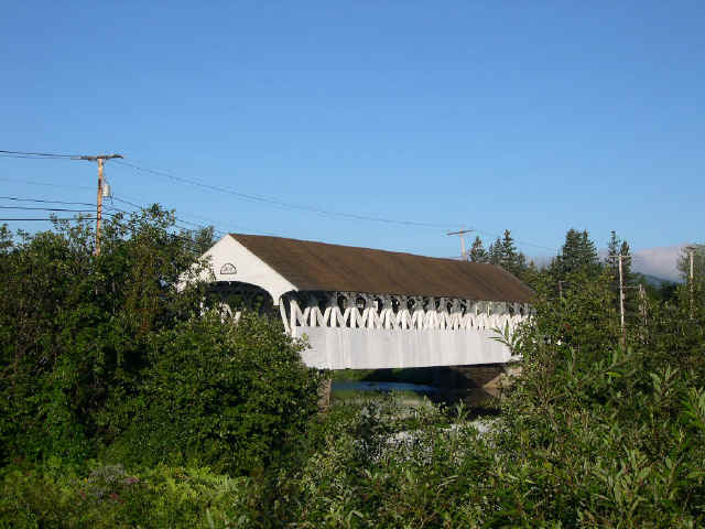
THOMPSON,
WEST SWANZEY BRIDGE 29-03-04, Town Truss, built in 1832, is located
in West Swanzey, on Main Street.
The
GPS location is N42 52.30 W72 19.68.
|
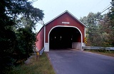 |
CRESSON,
SAWYER'S CROSSING BRIDGE 29-03-05, Town Truss, built in 1859,
restored in 1996. It is located South of Keene, on Sawyers Crossing
Road.
The
GPS location is N42 53.17 W72 17.20.
|
 |
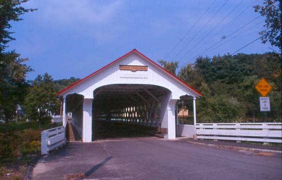
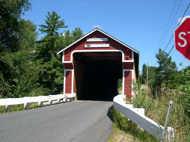
SLATE
BRIDGE 29-03-06#2, Town Truss, built in 1862 & rebuilt lately
is located East of Route 10, on Westport Village Road.
The
GPS location is N42 50.83 W72 20.43.
|
 |
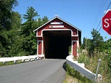
CARLTON,
WHITCOMB BRIDGE 29-03-07, Queenpost Truss, built in 1869 &
restored in 1996 is located West of East Swanzey, on Carlton Street.
The
GPS location is N42 51.274 W72 16.452.
|
COOS
COUNTY
 |
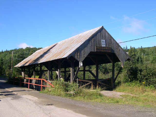
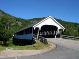
HAPPY
CORNER BRIDGE 29-04-01, Paddleford Truss w/arch, is located NE
of Pittsburg on a by-passed section of Hill Road.
The
GPS location is N45 05.062 W71 18.797.
|
 |
RIVER
ROAD BRIDGE 29-04-02, Queenpost Truss, built in 1858 is located
ENE of Pittsburg on a by-passed section of River Road.
The
GPS location is N45 04.349 W71 18.346.
|
|
|
CLARKSVILLE,
PITTSBURG BRIDGE 29-04-03, Paddleford Truss w/arch, built in 1876
is located at West Pittsburg on Bacon Road (dead end).
The
GPS location is N45 03.282 W71 24.409.
|
 |
GROVETON
BRIDGE 29-04-04, Paddleford Truss, built in 1852, is located at
Groveton, on bypassed section of US3.
The
GPS location is N44 35.743 W71 30.653.
|
 |
STARK
BRIDGE 29-04-05, Long Truss W/arch, is located at Stark, on Northside
Road, off NH110.
The
GPS location is N44 36.054 W71 24.475.
|
 |
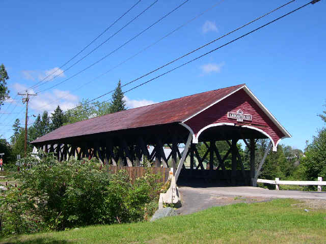
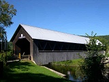
MECHANIC
STREET BRIDGE 29-04-06, Paddleford Truss, built in 1862, is located
on Mechanic Street, in Lancaster.
The
GPS location is N44 29.214 W71 33.860.
|
COOS
NH & ESSEX COUNTY
VT
|
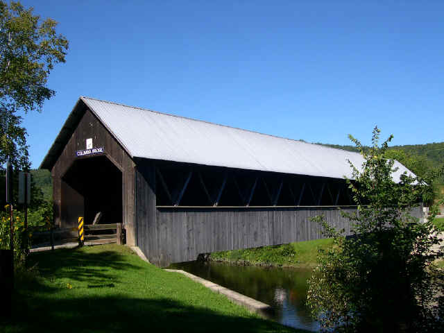
COLUMBIA
BRIDGE 29-04-07 & 45 05-02, Howe Truss, built in 1912, is
located west of Route 3 in Columbia, on Columbia Bridge Road.
The
GPS location is N44 51.180 W71 33.077.
|
 |
MT.
ORNE BRIDGE 29-04-08#2 & 45 05-03#2, Howe Truss, built in
1911 is located on Route 135, WSW of Lancaster, on road to Lunenburg,
VT.
The
GPS location is N44 27.600 W71 39.140.
|
|