CLINTON
COUNTY
 |
LOGAN
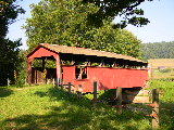
MILLS BRIDGE 38-18-01, Queenpost Truss, builder unknown, built
in 1874, is located on CR 2007, East of Tylersville. It was rebuilt
in 2003.
The
GPS location is N40
00.346 W77 23.160.
|
LYCOMING COUNTY
 |
BUTTONWOOD
BRIDGE 38-41-01, Multiple King Truss Variant, builder unknown,
built in 1898, is located on Covered Bridge Road, North of Buttonwood.
The
GPS location is N40 30.60 W77 07.82.
|
 |
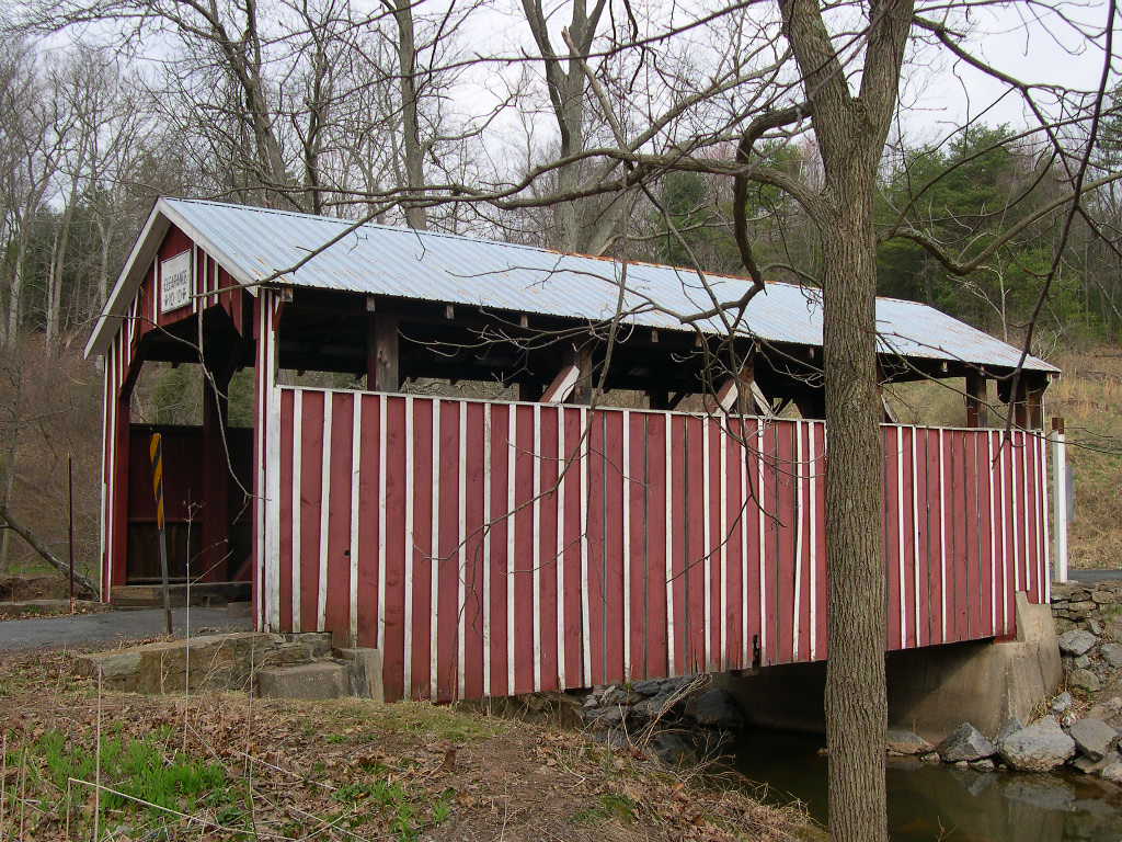
COGAN
HOUSE, BUCKHORN BRIDGE 38-41-02, Burr Arch Truss, builder unknown,
built in 1877. It is located on dead end Green Goose Road (TR
784), East of Brookside.
The
GPS location is N41
23.895 W77 12.032.
|
 |
LAIRDSVILLE,
FRAZIER, MORELAND BRIDGE 38-41-03, Burr Arch Truss, builder unknown,
built in 1888. It is located off East Arch Rider Road (TR 664),
on Covered Bridge Road, a dead-end road between a farmers barn
& his house, SW of Lairdsville.
The
GPS location is N41
12.436 W76 38.147.
|
MONTOUR COUNTY
 |
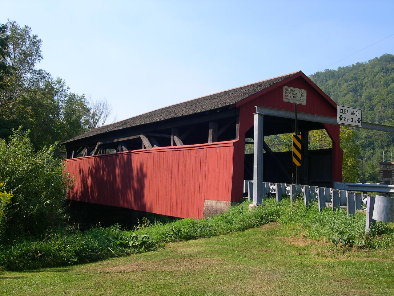
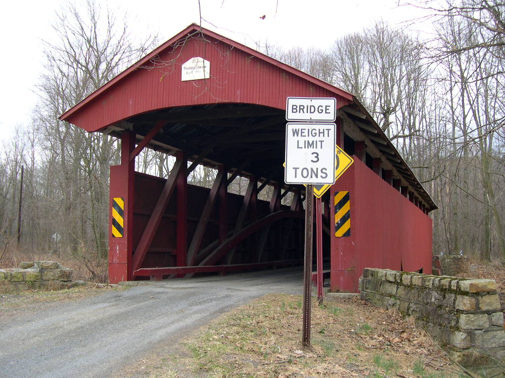
OLD
KEEFER'S MILL BRIDGE 38-47-03, Burr Arch Truss, built by William
Butler in 1853 & rebuilt by the county in 1983. It is located
on TR346, SW of Washingtonville.
The
GPS location is N41 02.00 W76 41.50.
|
NORTHUMBERLAND COUNTY
 |
KEEFER
STATION BRIDGE 38-49-02, Burr Arch Truss, built by George W. Keefer
in 1888, rebuilt in 1986, is located on Mill Road (TR 698), west
of Snydertown.
The
GPS location is N40
52.24 W76 43.39.
|
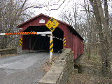 |
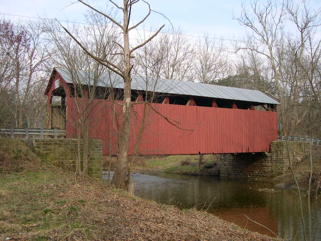
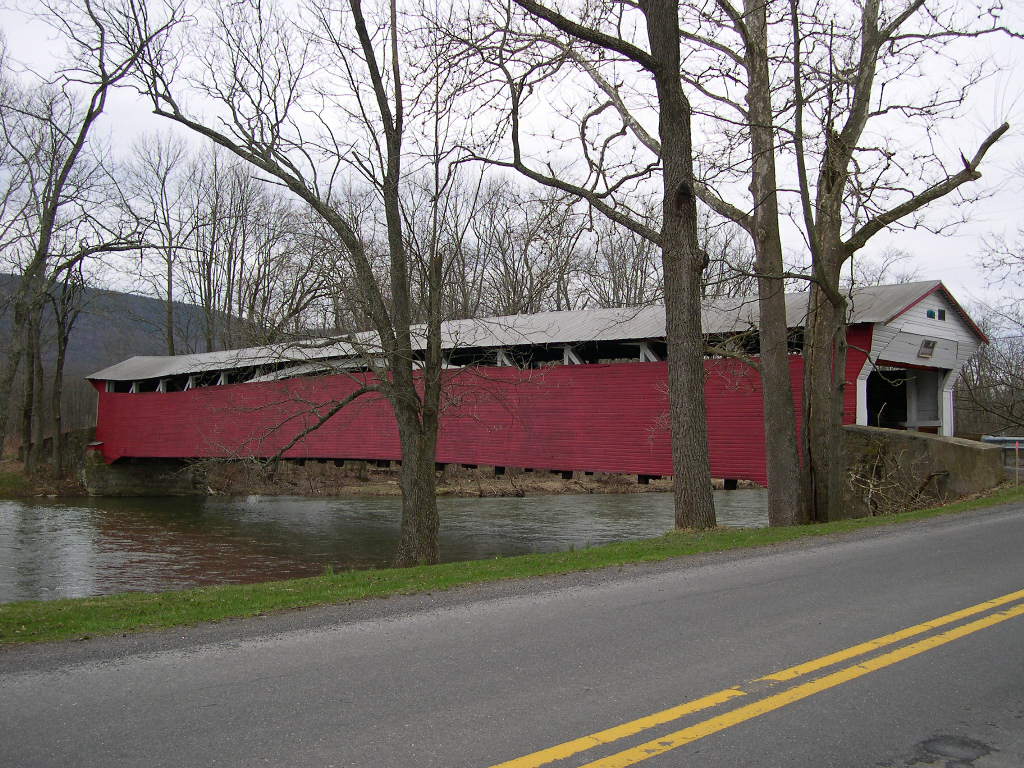
RISHEL,
MONTANDON BRIDGE 38-49-05#2, Burr Arch Truss, built by John Shriner
Jr. & Zacheus Braley in 1830. It is located on East-West Chillisquaque
Road (TR573). It was slightly damaged by Tropical Storm Irene.
The
GPS location is N40
57.63 W76 48.92.
|
 |
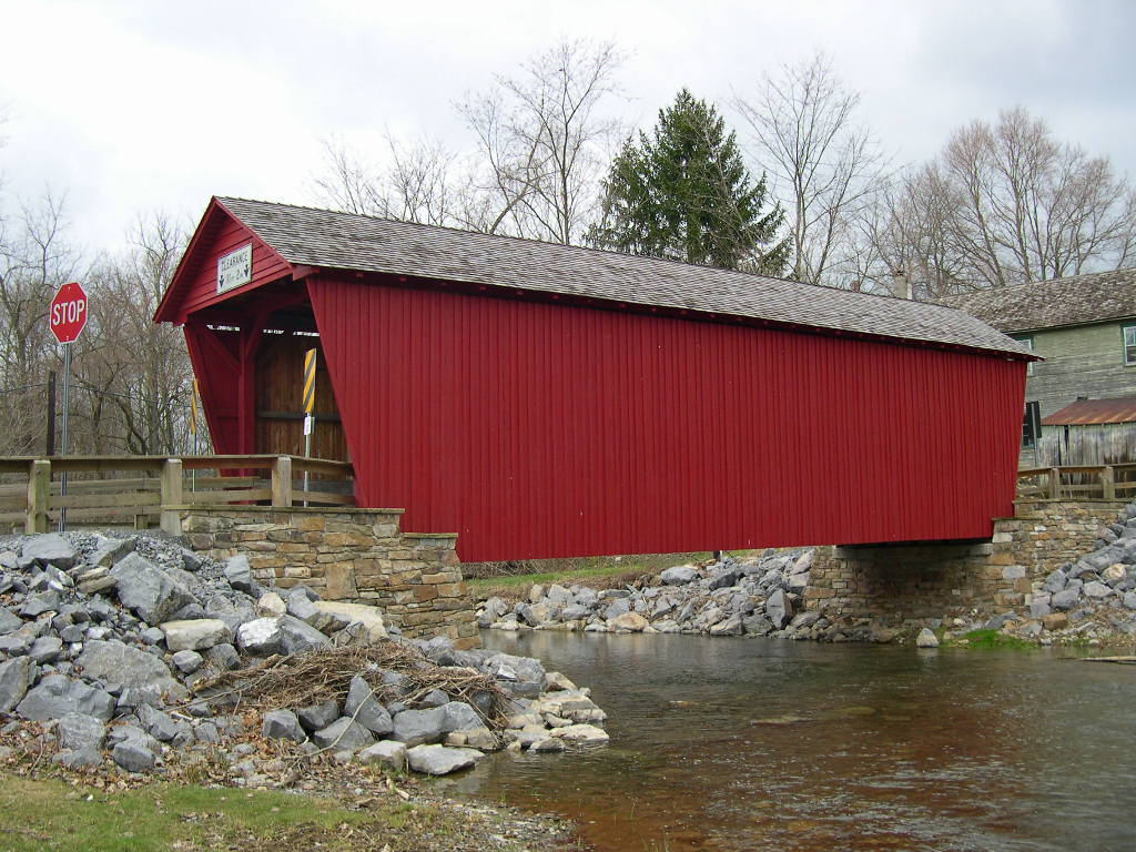
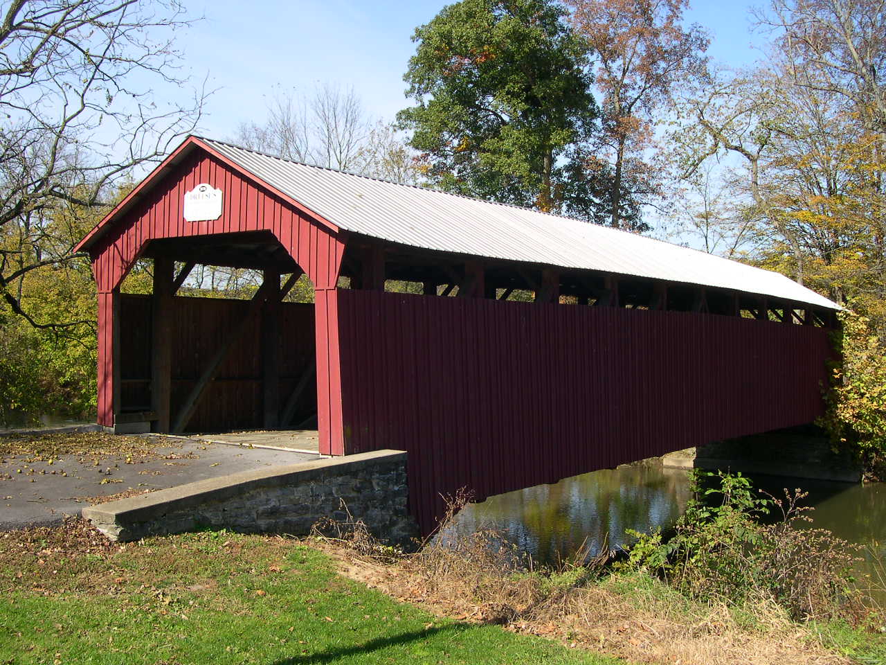
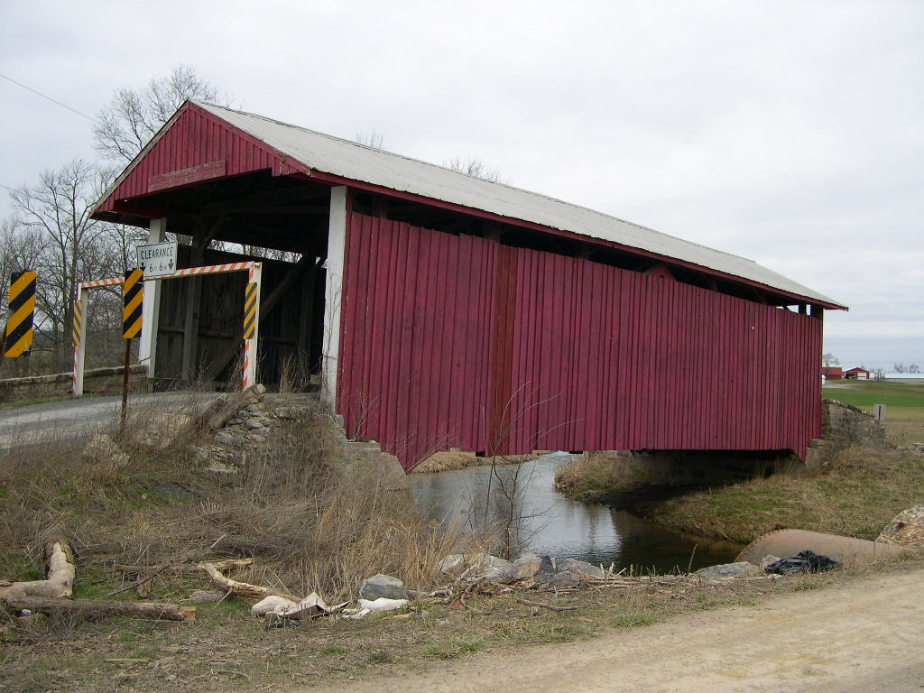
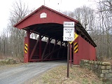
REBUCK,
HIMMEL'S CHURCH BRIDGE 38-49-06#2, Multiple King Post Truss, built
by Peter Keefer in 1874, & reconstructed in 1983. It is located
on Covered Bridge Road (TR 442), ENE of Herndon.
The
GPS location is N40
43.37 W76 43.19.
|
 |
MERTZ
BRIDGE 38-49-B, Multiple King Post Truss, on steel I-beams, unaware
of builder at this time, built in 1976. It is located on Mirkwood
Road, northwest of Northumberland, off of Ridge Street. About
one mile off Rte 147 North.
The
GPS location is N40
55.203 W76 49.922.
|
SNYDER COUNTY
 |
BEAVERTOWN,
DREESE'S BRIDGE 38-55-02, Burr Arch Truss, builder unknown, built
in c. 1870, is located off Covered Bridge Road (TR 600), NE of
Beavertown.
The
GPS location is N40
46.54 W77 08.69.
|
 |
KLINEPETER'S,
OVERFLOW BRIDGE 38-55-03, Burr Arch Truss, builder unknown, built
in 1871. It is located on Railroad Avenue (TR 427), in Beaver
Springs. Moved to present area in 1981.
The
GPS location is N40 44.82 W77 12.70.
|
 |
ALINE,
MEISERVILLE BRIDGE 38-55-04, Burr Arch Truss, builder unknown,
built in 1884, is located on bypassed section of Zimmerman Road
(TR 335), North of Meiserville.
The
GPS location is N40
40.57 W76 58.75.
|
SNYDER-JUNIATA COUNTY
 |
NORTH
ORIENTAL, CURRY'S CORNER BRIDGE 38-04-05 & 38-55-05, Multiple
Kingpost Truss, is shared by Juniata & Snyder counties, builder
unknown, was built in 1908. It is located on Saint Thomas Road,
West of Meiserville.
The
GPS location is N40 39.71 W77 00.67.
|
 |
MEISER'S MILL BRIDGE, SHAEFFER 38-34-06 & 38-55-06, Burr Arch
Truss, is shared by Juniata & Snyder counties, builder unknown,
was built in 1907. It is located on bypassed section of CR2024,
SW of Meiserville. It is being used as a shed now for farm equipment.
The
GPS location is N40 38.32 W77 00.09.
|
UNION COUNTY
 |
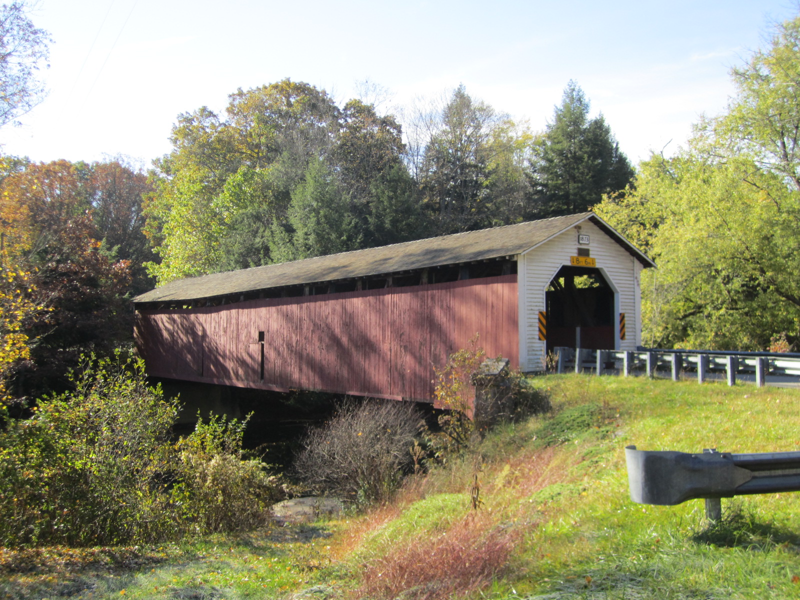
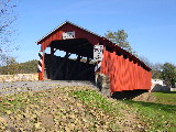
MILLMOUNT,
RED BRIDGE 38-60-01#2, Burr Arch Truss, rebuilt in 2010, replaces
a covered bridge built in 1855. It is located on Covered Bridge
Road, East of Glen Iron.
The
GPS location is N40
52.71 W77 09.33.
|
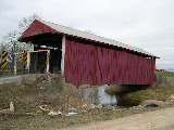 |
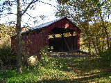
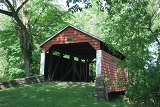
HAYES
BRIDGE 38-60-02, Multiple King Post Truss, builder unknown, built
in 1882, is located on Hoover Road (TR 376), West of Mifflinburg.
The
GPS location is N40
55.037 W77 05.492.
|
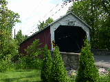 |
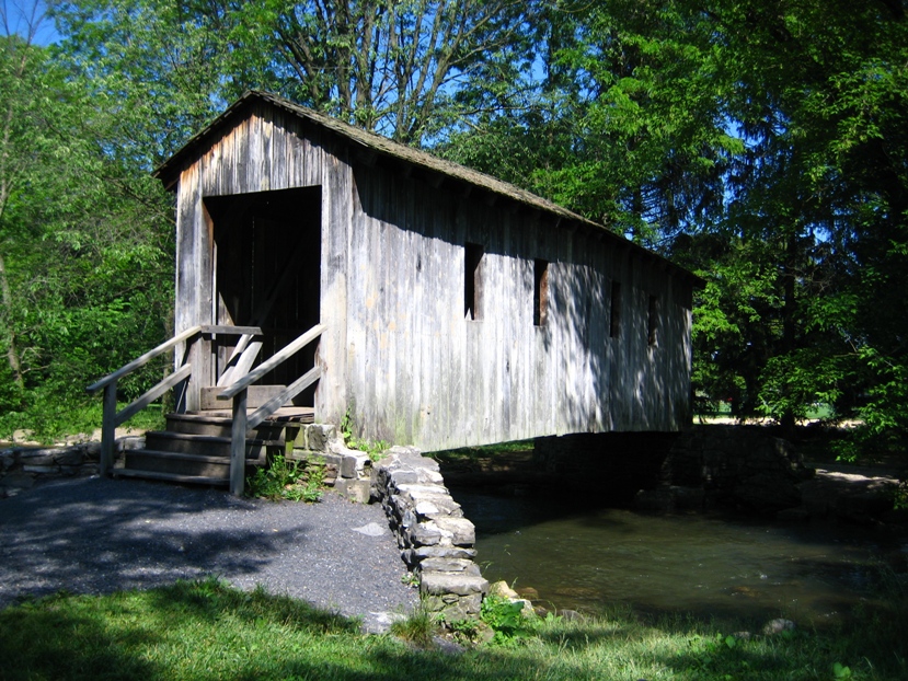
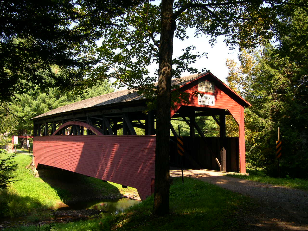
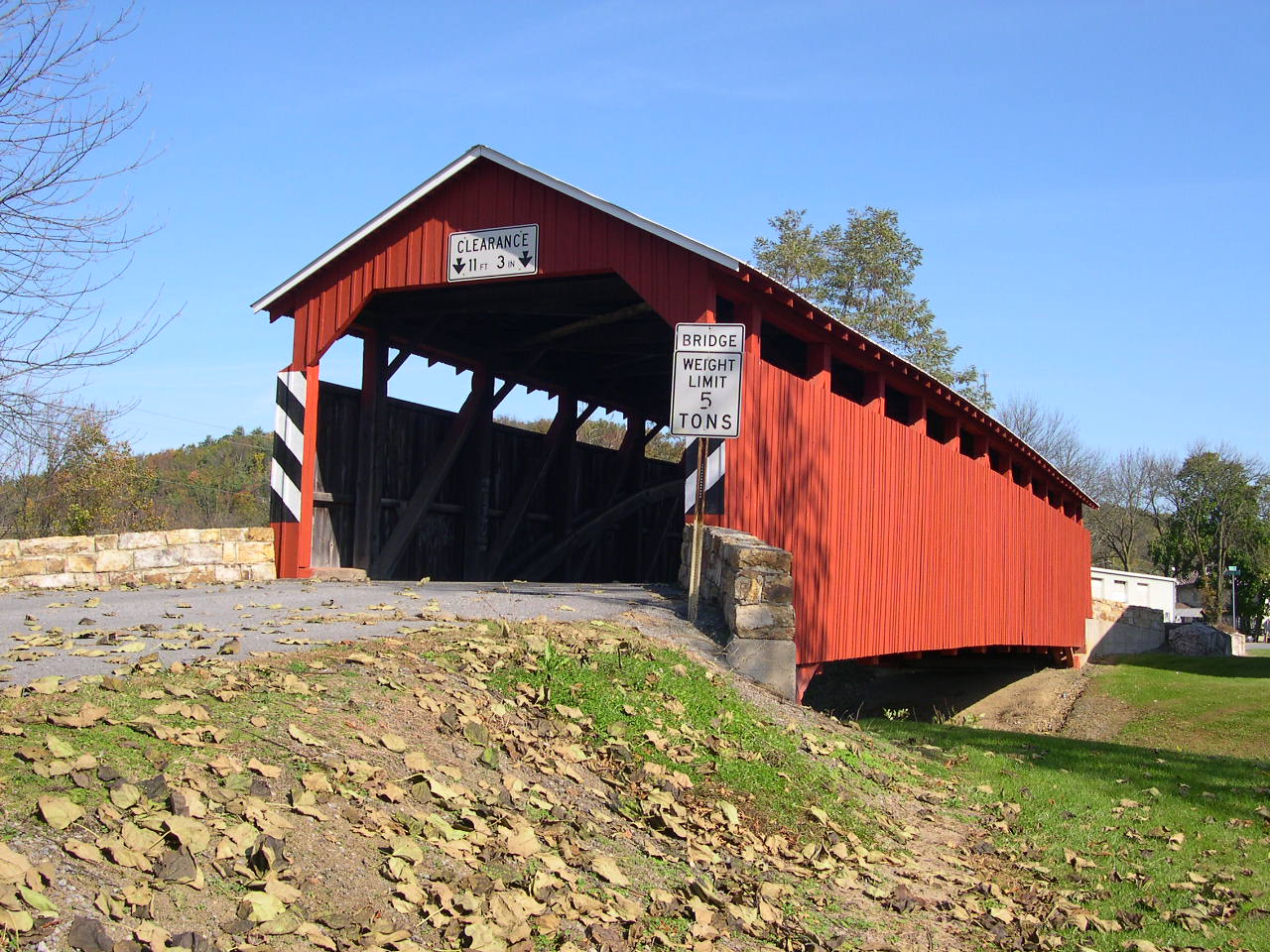
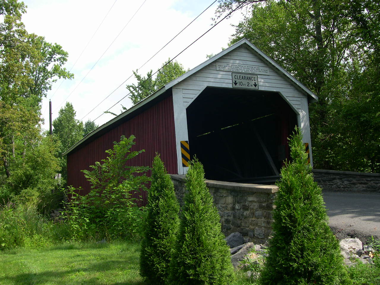
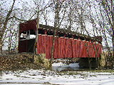
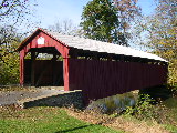
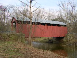
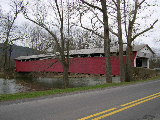
HASSENPLUG
BRIDGE 38-60-03, Burr Arch Truss, builder unknown, built in 1825,
steel floor installed in 1959. It is located off PA 45, on North
4th Street in Mifflinburg.
The
GPS location is N40
55.44 W77 02.97.
|
 |
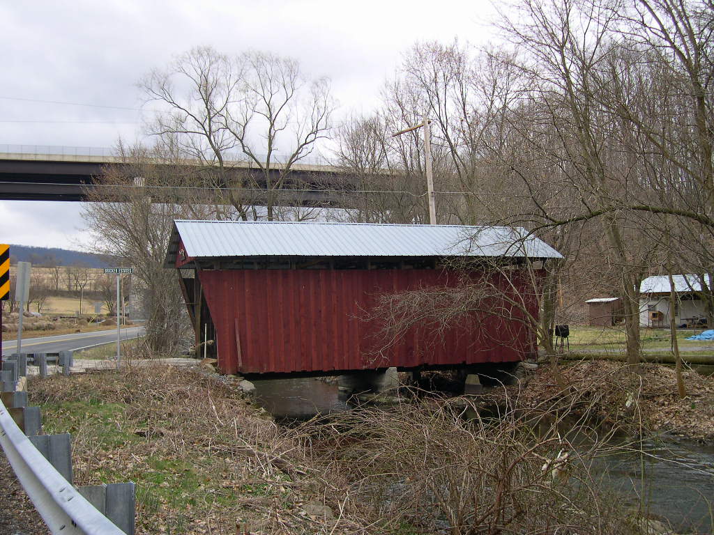
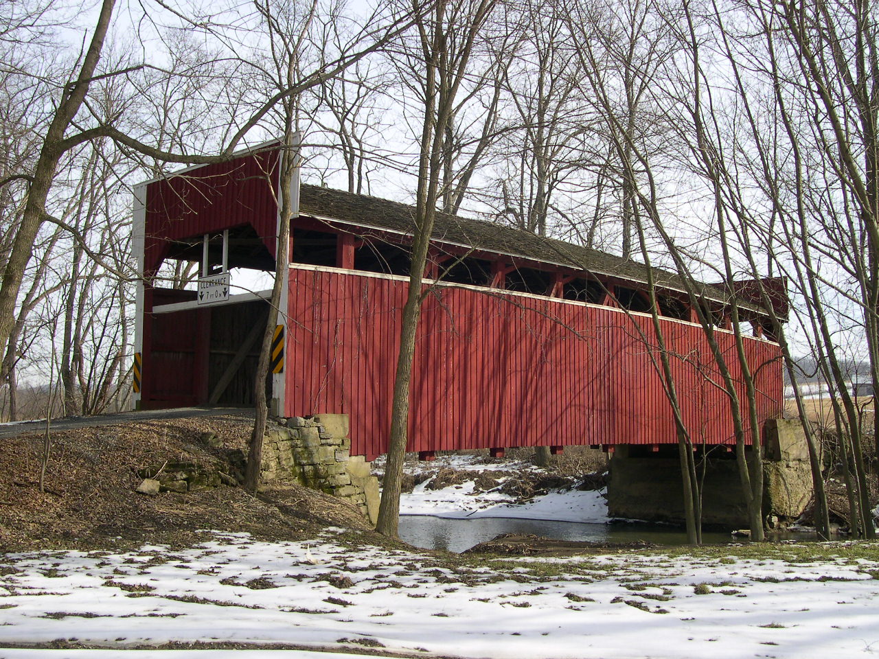
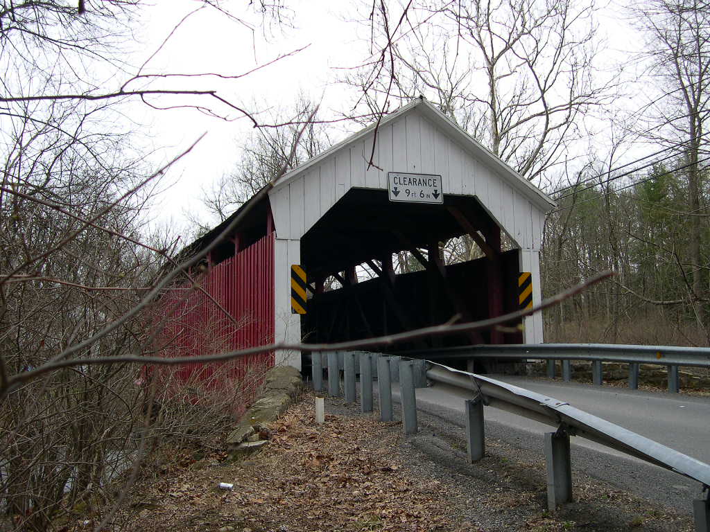
FACTORY,
HORSHAM BRIDGE 38-60-04, Burr Arch Variant, builder unknown, built
in c. 1880's, is located on Grey Hill Road (TR 516), West of White
Deer.
The
GPS location is N41
04.42 W76 54.18.
|
 |
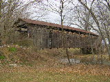
LEWISBURG
PENITENTIARY, HUBLER ROAD BRIDGE 38-60-05, Multiple King Truss
Variant, builder unknown, built in 1850, is located on private
land. It is located off Strawbridge Road. At present, the bridge
is unavailable to visitors. This photo was given to me by The
First Vice President of the Theodore Burr Covered Bridge Society
of PA, Jim Smedley.
The
GPS location is N40
59.163 W76 55.672.
|
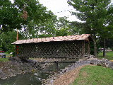 |
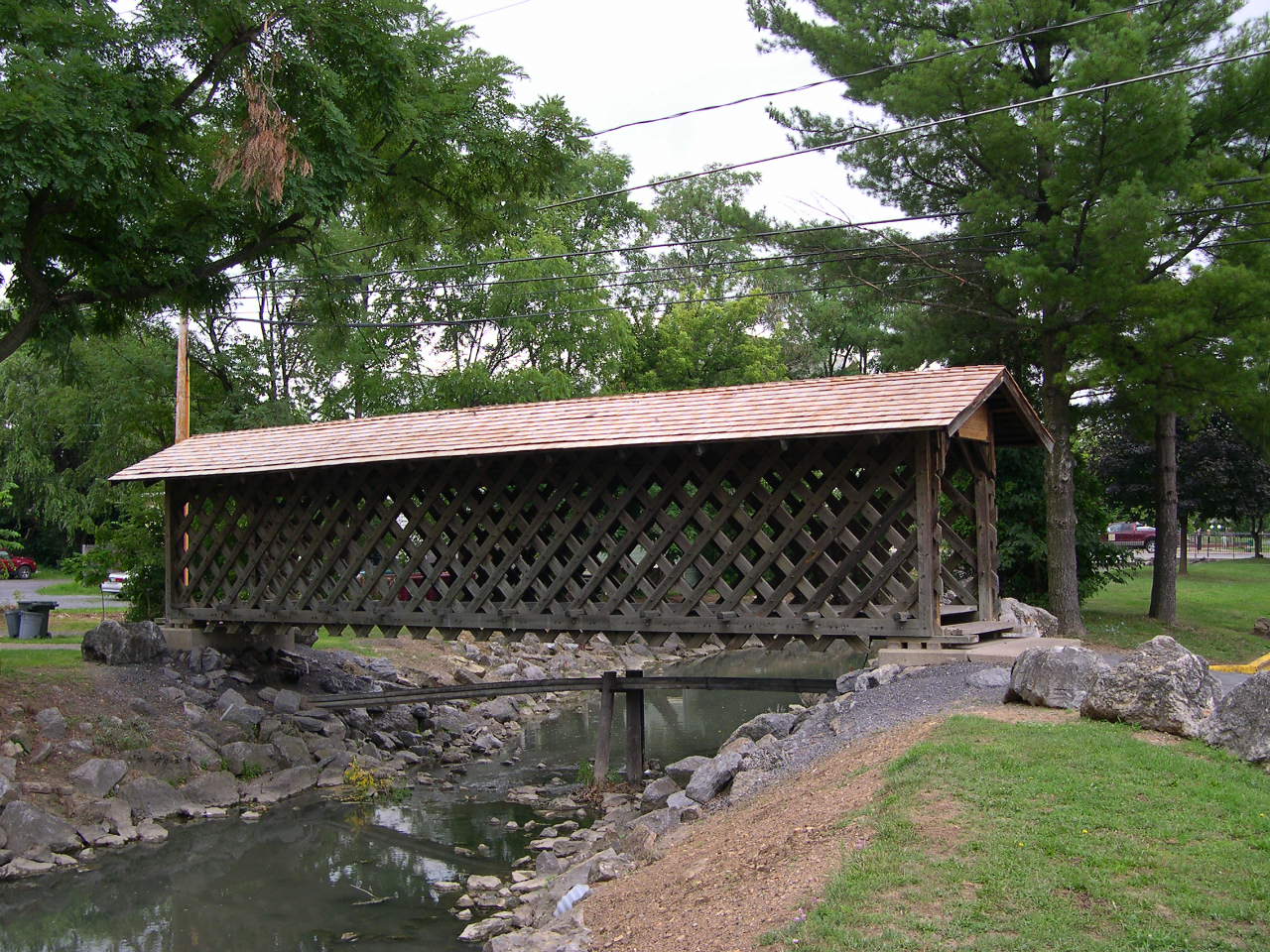
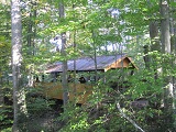
GORDON
HUFNAGLE MEMORIAL PARK BRIDGE 38-60-m, Town Truss, built by Bucknell
University Engineering Students R. Cassidy & B. Hassinger
in 1982, in memory of Police Chief Hufnagle who lost his life
in flood waters in 1972 trying to save others, is located on North
Sixth Street in Lewisburg.
The
GPS location is N40 59.163 W76 55.672.
|
|